The floodplains and foothills of the eastern Himalayas in North-East India around Bhutan is the Dooars or Duars Region. The Dooars valley streches from River Teesta on the west to River Sankosh on the east, over an area of 8800 km² . The Western Dooars is known as the Bengal Dooars and the Eastern Dooars as the Assam Dooars. This region forms the only nitrate rich soil in India which is very fertile.
The word Dooars or Duars means door. The reason why it is called duars is because the region forms the gateway to the hill stations of North Bengal, Sikkim, Bhutan & the North-Eastern states of India.
The altitude of Dooars area ranges from 90 to 1,750 m. Many streams and rivers flow through these fertile plains. Of them are Teesta, Jaldhaka, Murti, Torsha, Brahmaputra, Manas, Sankosh, Dyna, Karatoya, Raidak, and Kaljani rivers.
The rich fertile soil is very lucrative for the tea-cultivation. The beauty of the region lies not only in its tea gardens but also in the dense forests. Many wildlife sanctuaries and national park like Manas National Park in Assam, Jaldapara National Park, Buxa National Park, Gorumara National Park, Chapramari Wildlife Reserve and the Mahananda Wildlife Sanctuary in West Bengal are located in this region.
The Dooars valley is specially noted for its wildlife sanctuaries, the most notable of which are the National Park of Gorumara (75 km from Siliguri), Chapramari forests (68 km from Siliguri), the Buxa Tiger Reserve (200 km from Siliguri) and the Jaldapara Santuary (124 km from Siliguri)
Jaldapara Wildlife Sanctuary & Gorumara National Park:

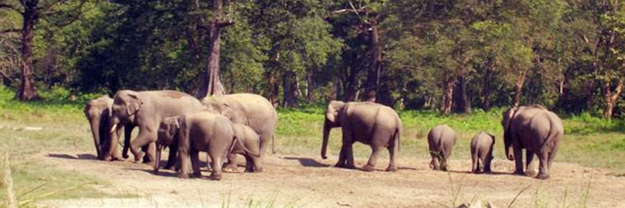
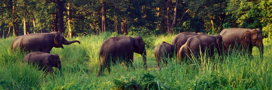
These two wildlife parks are famous for one-horned rhinoceros. Besides, mighty bison, leopard, spotted deer, sambar, hog deer, reptiles, huge wild tuskers, wild boars and the rarest variety of animals and birds including plenty of peacocks can be seen. Jaldapara Wildlife Sanctuary was established in 1941 for the purpose of protecting the Indian one-horned rhinoceros. In May 2012 it was declared a national park. Jaldapara is situated on the bank of River Torsa, at an altitude of 61 m and is spread across 216.51 sq kms.
Gorumara was a reserve forest since 1895. The park was declared a Wildlife Sanctuary in 1949, on account of its breeding population of Indian rhinoceros. It was declared an Indian National Park on January 31, 1994. Gorumara National Park has been declared as the best among the protected areas in India by the Ministry of Environment and Forests for the year 2009.
Buxa Fort:

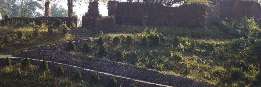
Buxa Fort is located at an altitude of 2,844 ft in the Buxa Tiger Reserve, Jalpaiguri district, West Bengal. It is located 30 kms from Alipurduar, the nearest town. The Bhutan King used the fort to protect the portion of famous Silk Route connecting Tibet with India, via Bhutan. Still later during unrest in Occupation of Tibet, hundreds of refugees arrived at the place and used the then abandoned fort as refuge.
Buxa National Park:

Buxa Tiger Reserve is a fascinating sight-seeing located in Alipurduar district of West Bengal. Its northern boundary runs along the international border with Bhutan. The Phipsu Wildlife Sanctuary of Bhutan is contiguous to North of BTR. The Sinchula hill range lies all along the northern side of BTR and the eastern boundary touches that of the Assam State. Manas National Park lies on east of BTR. BTR, thus, serves as international corridor for Asian elephant migration between India and Bhutan. Buxa Tiger Reserve is nearly 200 kilometers from Siliguri and only 25 kilometers from Alipurduar.
Mahananda Wildlife Sanctuary:

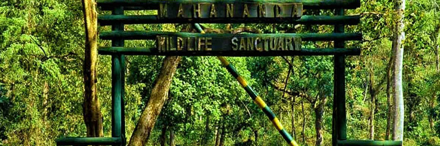
Located around 13kms away from Siliguri, Mahananda Wildlife Sanctuary is a part of Darjeeling Wildlife division many to protect the endangered species of Royal Bengal Tiger and the Indian Bison. The sanctuary spreads over an area of around 159 sq kms. The place was declared as a sanctuary in the year 1959.
The other places of interest are:
- Chapramari Wildlife Reserve
- Rasik Bill Bird Sanctuary
- Chilapata
- Jayanti
- Bindu
- Santaleykhola
- Rocky Island
- Toto Para
- Jayanti
- Bhutanghat
- Coronation Bridge
- Chalsa

